Location
On the ridge of Brgy. Talisay.
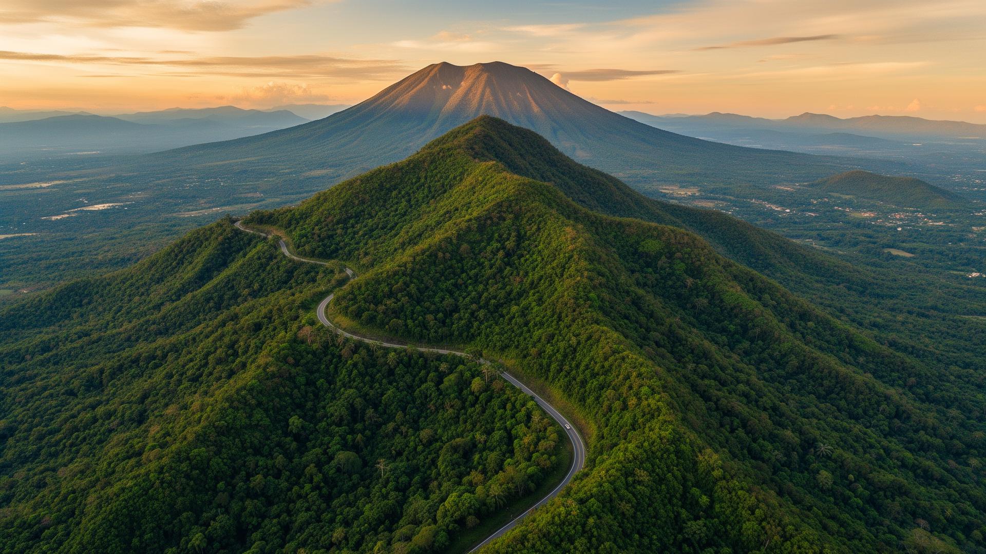
Coordinates 13°57'52.5"N, 121°12'27.8"E — 13.4 hectares of titled land at the gateway to Southern Luzon, 1 hour 20 minutes from Metro Manila via STAR Tollway.
Site & access
Easy access. Distinctive setting.
Gentle slopes, forested ridges, and existing utility infrastructure — zoned for tourism and mixed-use commercial under the Lipa City land use plan, with full LGU support for upgrades.
Land Area
13.4 hectares, titled and consolidated
Zoning
Tourism & mixed-use commercial
From Manila
1 hour 20 mins via STAR Tollway
Highway
JP Laurel Highway access
Coordinates
13°57'52.5"N · 121°12'27.8"E
Elevation
Cool highland air, Mt. Malarayat backdrop
Neighborhood
Surrounded by Batangas' most considered addresses.
·South Palmgrove by Alveo
·Mt. Malarayat Golf & Country Club
·Lima Technology Center
·The Farm at San Benito
·Molinillo at Rockwell Lipa
·La Finca residences
·University of Batangas · De La Salle Lipa
·SM Lipa and The Outlets
·Anahaw, Cassa Marissa, Beemo's Hidden Patch